Confirm the mapped point
The Census match appears on a draggable map before any soil claim is made.
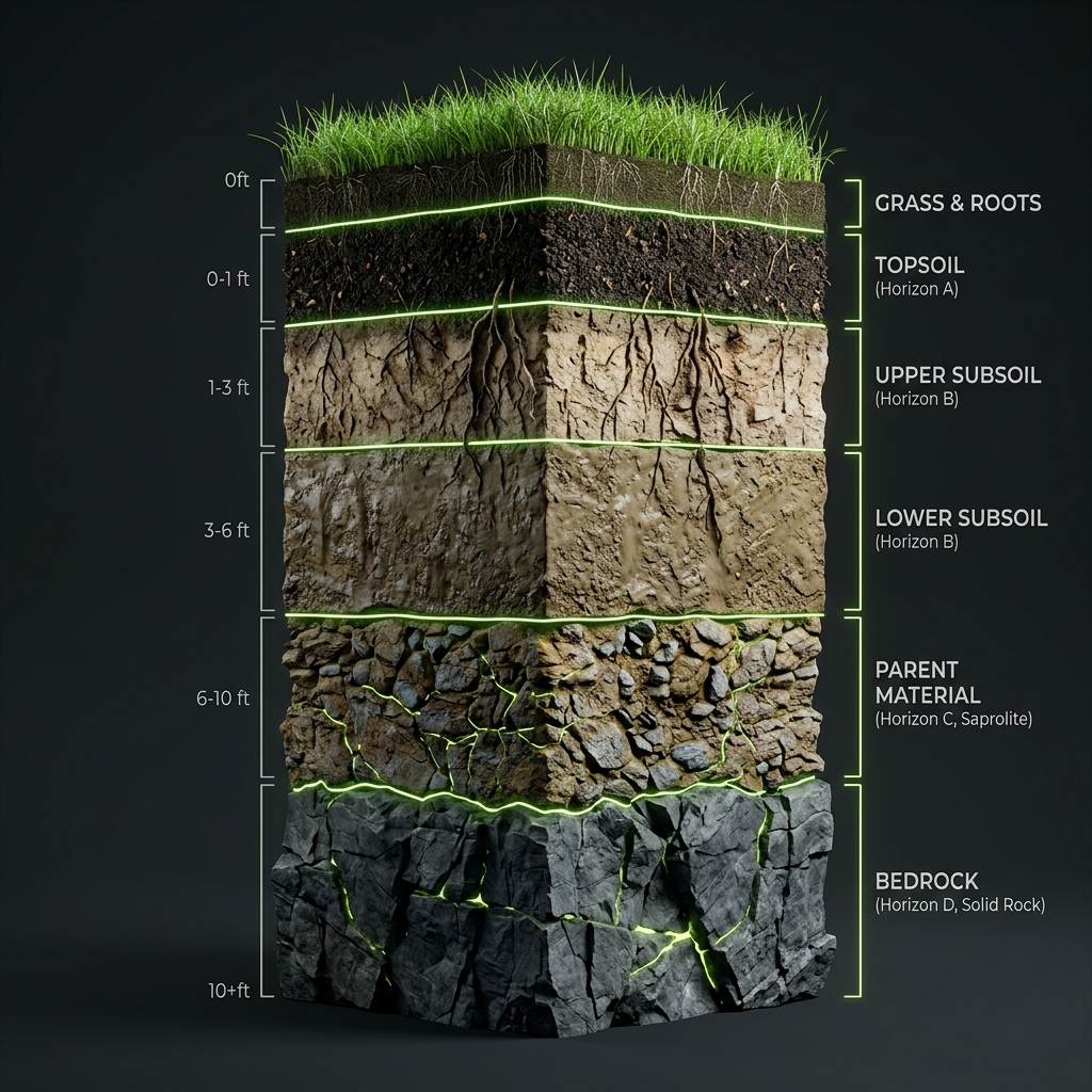
 Subsurface
See what USDA soil survey data says about a specific U.S. property. Find its mapped soil unit, then explore soil components, texture, drainage, hydrology, restrictive layers, and survey indicators.
Is this the right location? Drag the pin if Census placed it imprecisely.
The lookup preserves the distinctions USDA makes between a mapped polygon, a map unit, and the soil components associated with that unit.
The Census match appears on a draggable map before any soil claim is made.
A point-in-polygon query identifies the USDA map unit surrounding the selected coordinate.
Percentages, horizons, hydrology, restrictions, and missing values remain visible and traceable.
USDA map units often contain several named components. The dominant component is not guaranteed beneath a house, garden bed, or proposed drain field. We show the composition instead of collapsing it into false certainty.
The selected latitude and longitude are resolved against an actual SSURGO polygon.
Missing USDA values are labeled “Not reported,” because absent data does not mean zero.
Flooding, ponding, hydric status, and drainage retain source classifications and limitations.
No. It identifies the USDA map-unit polygon at the point and displays the soil components associated with that mapped unit. Field conditions can vary.
No. Saturated hydraulic conductivity is a soil-survey estimate of saturated transmission. It is not a parcel infiltration test or septic percolation test.
Some attributes are absent or not applicable in a USDA record. The interface preserves that state instead of substituting zero.