
USDA Soil Terms Decoded: Ksat, HSG, Hydric Ratings, and Drainage Classes
A comprehensive navigation guide translating complex USDA soil survey terminology into clear plain-English concepts for homeowners and property buyers.
This navigation hub translates key USDA soil survey terminology—Ksat, HSG, Hydric Ratings, Drainage Classes, and Water-Table Depths—into plain English with direct links to deep-dive guides.
Visualizing How This Works
This three-stage visual sequence illustrates subterranean water flow pathways, wetness indicators, and multi-horizon soil records.
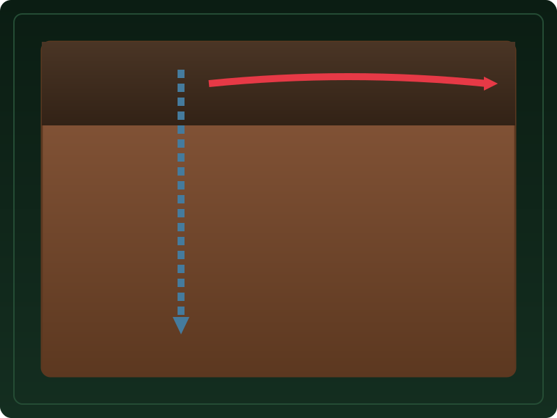
Infiltration & Drainage Attributes
Attributes like Ksat and Hydrologic Soil Group (HSG) describe downward water movement and stormwater runoff potential across saturated ground.
What to notice: Infiltration fields describe subterranean water transmission.
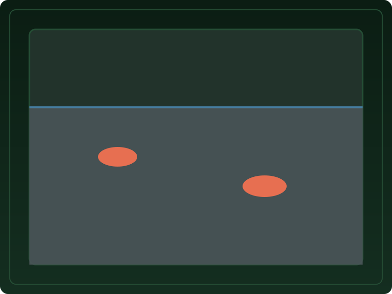
Drainage Classes & Wetland Ratings
Drainage Classes and Hydric Ratings describe seasonal saturation duration and oxygen-deprived soil color mottling.
What to notice: Wetness attributes evaluate seasonal water table depth.
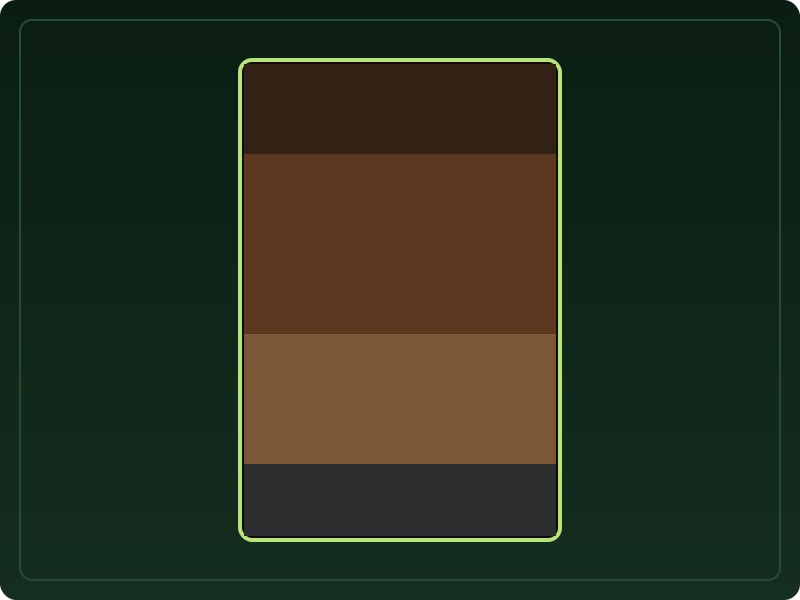
Layered Soil Survey Records
USDA SSURGO survey records structure ground data by map unit polygons, individual soil components, and distinct subterranean horizon layers.
What to notice: Each subterranean horizon carries unique physical metrics.
Key Takeaways
- USDA soil surveys map physical ground properties using standardized technical metrics.
- Ksat measures saturated permeability; HSG rates storm runoff risk.
- Hydric ratings screen for wetness; Drainage Classes describe natural soil drying behavior.
- All survey metrics provide mapped screening context and do NOT replace on-site engineering field tests.
USDA Terminology Navigation Hub
Explore technical soil survey terms decoded into everyday language.
Navigating official USDA SSURGO soil surveys can be intimidating. Below are direct plain-English explanations for the primary soil survey metrics mapped across Subsurface Atlas.
USDA soil survey metrics describe mapped soil polygon areas. Mapped survey data helps screen for regional conditions, but field conditions on individual building lots can vary due to past site grading or micro-topography.
USDA soil survey data provides broad mapped screening information across soil polygons. Field conditions on individual building lots can vary due to past grading, excavation, or micro-topography. Always consult a licensed geotechnical engineer or soil scientist for on-site parcel decisions.
Navigating Terminology in Subsurface Atlas Reports
Subsurface Atlas translates technical SSURGO database attributes into accessible plain-English guides.
Property Relevance
Screening context for property evaluation and land use planning.
On-site soil scientist mapping and engineering testing are required for construction permits.
Survey Limitations & Notes
- Survey data provides mapped screening information.
Common Myths vs. Reality
Each term measures a specific physical ground characteristic like water flow speed or clay expansion.
Primary Sources & References
Want to see what soil layers exist under your property?
Enter any U.S. address into Subsurface Atlas to explore mapped USDA soil units, components, drainage classes, and horizon profiles.
Run Address Lookup →