
Hydrologic Soil Groups (HSG A, B, C, D) Explained: Sponge vs. Raincoat Ratings
Understand USDA Hydrologic Soil Groups (A, B, C, D) and dual ratings (A/D). Discover how your soil handles storm runoff and heavy rains.
Hydrologic Soil Groups (HSG A, B, C, D) classify soil based on how rapidly water soaks in after thorough wetting and how much stormwater runs off.
Visualizing Stormwater Infiltration & Runoff Behavior
This four-stage visual sequence illustrates rapid sand infiltration, moderate loam drainage, slow clay runoff, and dual-group water table behavior.
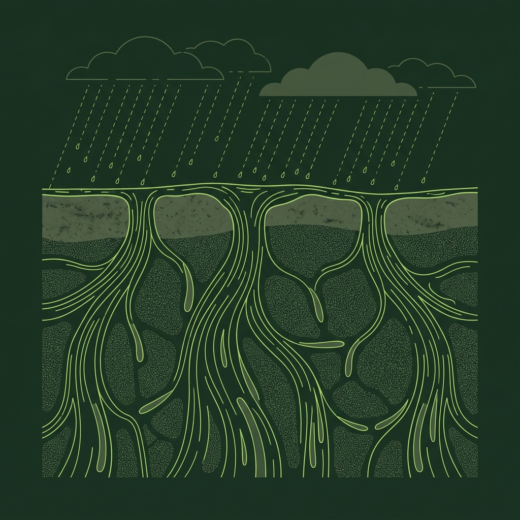
Coarse Sand & Minimal Runoff
Coarse sandy soils possess wide pore spaces that absorb rainfall rapidly under saturated conditions, leaving almost zero surface runoff.
What to notice: Infiltration paths dominate while surface runoff is virtually absent.
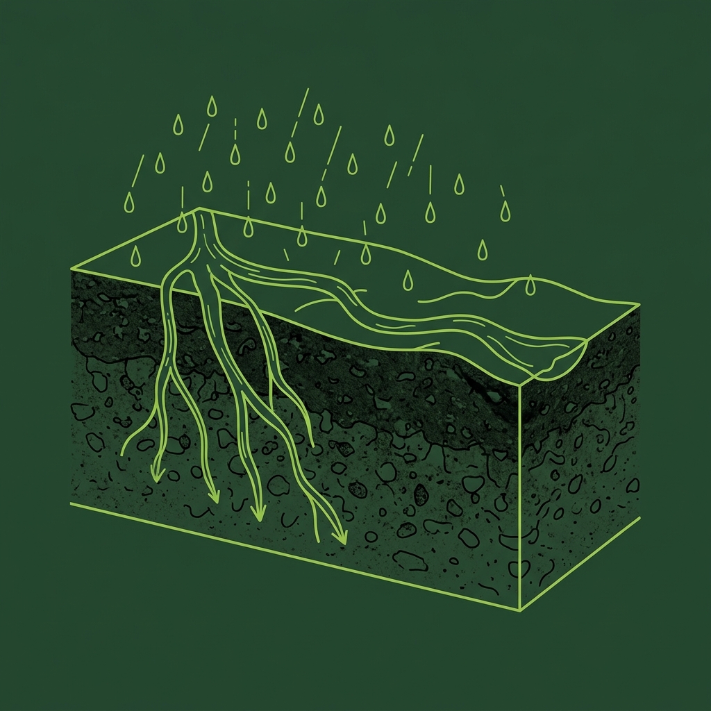
Balanced Loam Moisture Flow
Loamy soils maintain a steady balance between downward water entry and minor surface movement, absorbing most moderate storm events smoothly.
What to notice: Water divides evenly between subsoil absorption and gentle surface movement.
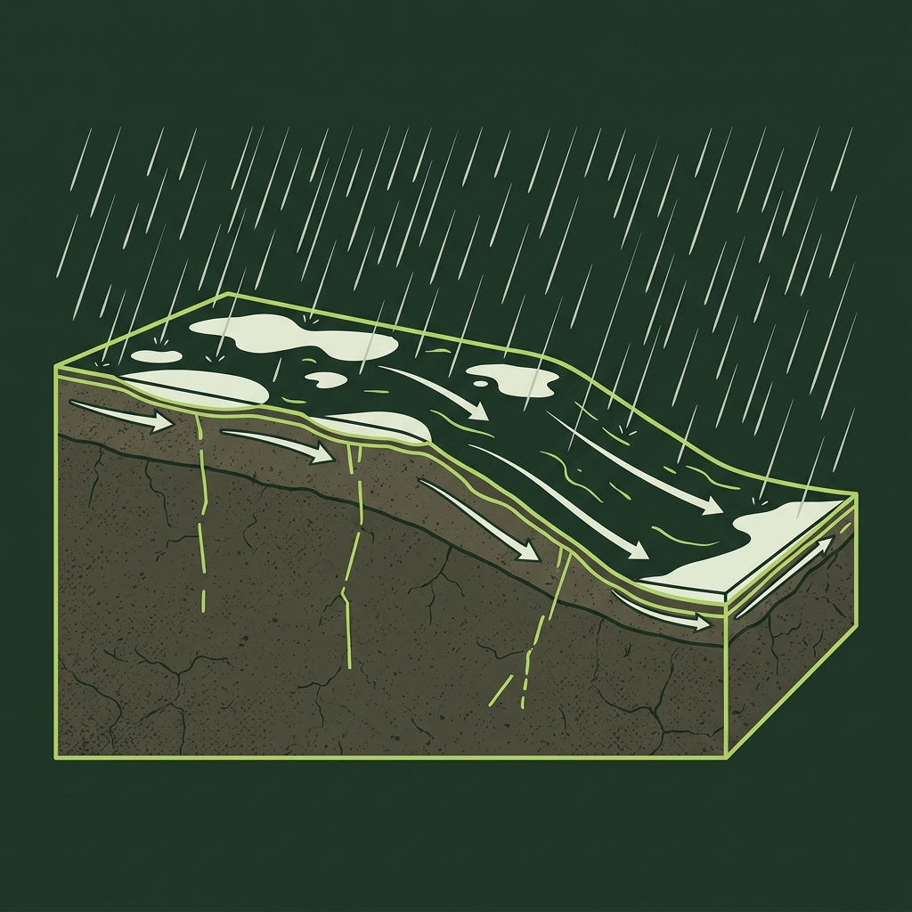
Clay Restriction & Heavy Runoff
Dense clay layers and shallow water tables block downward infiltration during heavy storms, forcing water across the surface as active storm runoff.
What to notice: Water arrows curve laterally downslope rather than entering subsoil layers.
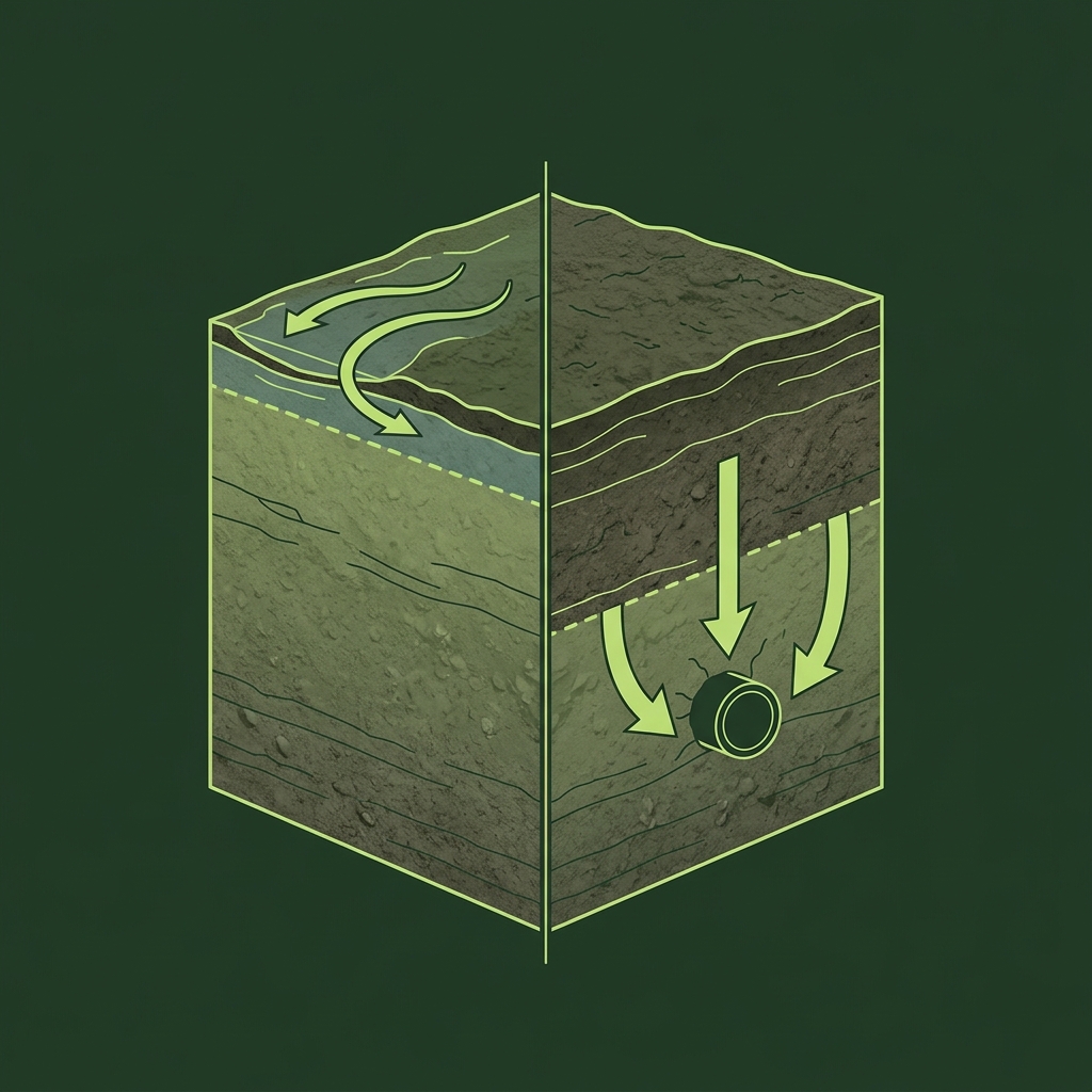
Natural State vs. Drained Performance
Dual ratings represent soils with a high natural water table (Group D) that shift to Group A, B, or C if artificial subsurface drainage is installed and maintained.
What to notice: Subsurface tile drainage lowers the wet water line and restores infiltration.
Hydrologic Soil Group (HSG) Runoff Matrix
| Group | Infiltration Rate | Runoff Risk | Typical Soil Composition |
|---|---|---|---|
| Group A | High / Rapid | Very Low | Deep sands, gravels |
| Group B | Moderate | Moderate | Sandy loams, silt loams |
| Group C | Slow | Fairly High | Clay loams, shallow hardpans |
| Group D | Very Slow | High | Heavy swelling clays, high water tables |
Key Takeaways
- Group A (Low Runoff): Common examples include deep sands and gravels with rapid infiltration rates.
- Group B (Moderate Runoff): Deep sandy loams with steady water absorption.
- Group C (Slow Infiltration): Soils with clay accumulation or shallow restrictive layers.
- Group D (High Runoff): Heavy swelling clays, shallow bedrock, or high water tables.
What is a Hydrologic Soil Group?
When rain falls on a mapped soil unit, USDA rates its runoff potential based on saturated infiltration behavior.
When rain falls on your yard, water either soaks into the ground (infiltration) or moves across the surface (runoff). The USDA assigns every soil type into one of four Hydrologic Soil Groups (HSG: A, B, C, D) based on how fast water moves downward when the ground is thoroughly soaked.
HSG is a stormwater runoff-planning classification under specified wet conditions. It does not predict the outcome of a single localized storm event or guarantee whether an individual building lot will experience localized yard ponding.
Official USDA Field Explanation: Hydrologic Soil Group
Hydrologic Soil Group (HSG)
1. What is it? (Plain English)
A classification rating from Group A to Group D indicating relative stormwater runoff potential when soil is thoroughly wet.
Technical definition: A group of soils having similar runoff potential under similar storm and cover conditions after thorough wetting.
2. How USDA Reports This Field
component.hydgrpInterpretation Ranges & Rating Meanings
| Category / Level | Condition / Range | Physical Property Meaning |
|---|---|---|
| Group A | Deep sands & gravels | High infiltration rate under wet conditions; low storm runoff potential. |
| Group B | Sandy loams & silt loams | Moderate infiltration rate under wet conditions; moderate storm runoff potential. |
| Group C | Clay loams & hardpans | Slow infiltration rate under wet conditions; fairly high storm runoff potential. |
| Group D | Heavy clays & high water tables | Very slow infiltration rate under wet conditions; high storm runoff potential. |
3. Why it matters for soil evaluation
Civil engineers and stormwater planners use HSG ratings to calculate runoff volume estimates for drainage infrastructure.
4. What This Field Does NOT Prove (Limitations)
- HSG ratings reflect saturated soil conditions during major storm events.
- Does not predict the exact outcome of a single localized thunderstorm.
- Urban soil compaction, paved surfaces, and altered grading override natural HSG ratings.
USDA soil survey data provides broad mapped screening information across soil polygons. Field conditions on individual building lots can vary due to past grading, excavation, or micro-topography. Always consult a licensed geotechnical engineer or soil scientist for on-site parcel decisions.
How HSG Appears in Subsurface Atlas Records
Subsurface Atlas highlights the dominant Hydrologic Soil Group for the mapped unit while detailing component-level HSG ratings so you can see if your property contains mixed infiltration zones.
Property Relevance
HSG ratings indicate expected storm runoff volume and general surface drainage behavior across the mapped soil polygon.
On-site stormwater infiltration testing and topographical surveys determine specific drainage channel placement and French drain design.
Survey Limitations & Notes
- HSG ratings reflect saturated soil conditions during major storm events.
- Urban compaction, paved surfaces, and altered grading override natural HSG infiltration.
- Dual ratings (e.g., A/D) require verifying whether artificial drainage is functioning.
Common Myths vs. Reality
Group D indicates high runoff potential under saturated storm conditions; proper grading and drainage can manage it effectively.
If a sandy Group A soil rests on a steep slope, surface erosion can still occur during torrential rains.
Primary Sources & References
Want to see what soil layers exist under your property?
Enter any U.S. address into Subsurface Atlas to explore mapped USDA soil units, components, drainage classes, and horizon profiles.
Run Address Lookup →