
Hydric Soils & Wetland Indicators: What Hydric Ratings Mean
Understand USDA hydric soil ratings, anaerobic wetness indicators, redoximorphic features, and environmental wetland screening.
Hydric soils formed under wet conditions long enough to lack oxygen in upper horizons during growing seasons, developing distinct gray or mottled colors.
Visualizing Anaerobic Saturation & Redox Indicators
This three-stage visual sequence illustrates prolonged soil saturation, redoximorphic color mottles, and three-factor wetland evidence areas.
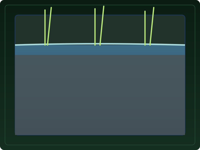
Oxygen Depletion in the Root Zone
Hydric soils remain saturated, flooded, or ponded long enough during the growing season to develop oxygen-deprived (anaerobic) conditions.
What to notice: Continuous water saturation depletes soil oxygen levels.
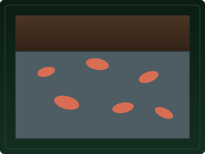
Gray Matrices & Redox Concentration Mottles
Anaerobic wetness causes iron to reduce and leach out, leaving muted gray soil matrices with localized rusty orange iron mottles.
What to notice: Muted gray colors indicate historical oxygen depletion.

Hydrology, Vegetation & Soil Evaluation
Environmental evaluation considers hydric soils alongside shallow hydrology and hydrophytic vegetation as three distinct evidence factors.
What to notice: Soil records provide screening context alongside hydrology and plants.
Key Takeaways
- Hydric soils develop anaerobic conditions due to prolonged saturation during growing seasons.
- Hydric soil presence is one of three required criteria for regulatory wetland determination.
- Hydric rating records alone do NOT establish a legal regulatory wetland boundary.
Understanding Hydric Soil Ratings
Hydric soils indicate long-term natural wetness during growing seasons.
USDA classifies soils as hydric when saturation causes oxygen depletion in upper horizons.
Establishing a legal regulatory wetland boundary requires on-site field delineation verifying hydrology, hydrophytic vegetation, and hydric soil indicators together.
Official USDA Field Explanation: Hydric Soil Rating
Hydric Soil Rating
1. What is it? (Plain English)
A rating indicating whether soil developed under wet conditions long enough to lack oxygen in upper layers.
Technical definition: A soil that formed under conditions of saturation, flooding, or ponding long enough during the growing season to develop anaerobic conditions.
2. How USDA Reports This Field
component.hydricratingInterpretation Ranges & Rating Meanings
| Category / Level | Condition / Range | Physical Property Meaning |
|---|---|---|
| Hydric (Yes) | Anaerobic wetness | Soil exhibits dark organic surface or gray redox mottles from long saturation. |
| Non-Hydric (No) | Aerated conditions | Soil drains sufficiently during growing seasons to maintain oxygen. |
3. Why it matters for soil evaluation
Screening indicator for wetland identification and environmental conservation planning.
4. What This Field Does NOT Prove (Limitations)
- Hydric soil records alone DO NOT establish a legal regulatory wetland boundary.
- Requires on-site field verification of hydrology, hydrophytic vegetation, and soil indicators.
USDA soil survey data provides broad mapped screening information across soil polygons. Field conditions on individual building lots can vary due to past grading, excavation, or micro-topography. Always consult a licensed geotechnical engineer or soil scientist for on-site parcel decisions.
How Hydric Ratings Appear in Subsurface Atlas Records
Subsurface Atlas highlights hydric ratings and component percentages.
Property Relevance
Screening context for environmental conservation and wetland planning.
Formal wetland delineation by a certified professional is required before site development.
Survey Limitations & Notes
- Hydric ratings reflect regional mapping polygon data.
Common Myths vs. Reality
Minor hydric inclusions can exist inside mapped non-hydric polygons.
Primary Sources & References
Want to see what soil layers exist under your property?
Enter any U.S. address into Subsurface Atlas to explore mapped USDA soil units, components, drainage classes, and horizon profiles.
Run Address Lookup →